Google Earth’s new AI satellite image tool sparks debate over misinformation risks

Jeeva Shanmugam
3 Min Read
Highlights
  • Google's new Google Earth update introduces the Google satellite AI image tool, allowing users to create realistic satellite-style images instantly using simple text prompts.
  • Researchers found that the AI image feature can generate fake scenes of real-world locations, raising concerns about the future of satellite image verification and online misinformation.
  • Google has added SynthID watermarking and safety measures, but experts believe stronger protections may be needed as AI-generated visuals become harder to distinguish from real images.

Google has added a new feature to Google Earth that lets users generate satellite-style images with a prompt. It is meant for creativity, but the update is already getting attention for another reason. For a long time, satellite images were one of the easiest ways to verify events happening around the world. Let us break it down.

Google Earth AI satellite image tool can now create satellite images

Journalists, researchers, and fact-checkers often relied on them during wars, floods, wildfires, and other major incidents. That is why the Google satellite AI image tool is raising questions. Soon after the feature became available, researchers started testing it.

They entered prompts describing damaged buildings, refugee camps, and sensitive locations. The tool reportedly produced realistic images without much difficulty. Separate tests by journalists also created believable pictures of events that never happened, including a fire at Iran’s Kharg Island oil terminal and flooding around the U.S. Capitol.
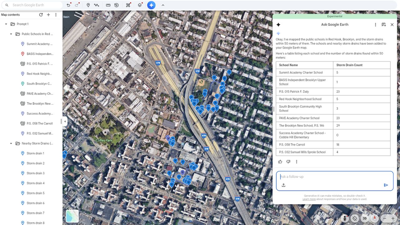
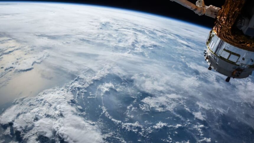
Google Earth AI Satellite Image Tool
Image Credits: Google

That is where the concern starts: if fake satellite images become easy to create, they can spread online before anyone has time to verify them. In many cases, people still trust satellite imagery more than ordinary photos. A realistic fake could confuse readers, especially when it is shared without context.

Another issue is public trust. Once AI-generated satellite images become common, real evidence may also be questioned. Someone can simply claim a genuine satellite image is fake. That makes verification much harder. Google says the feature includes SynthID, an invisible watermark designed to identify AI-generated images.

The company also says it has safety systems that block harmful requests and that block harmful requests and that those protections will continue to improve. Still, several researchers believe watermarking alone is not enough.

Images often spread across social media without metadata, screenshots get shared, and many people never check where a picture came from. The Google satellite AI image tool shows how quickly AI features are being added to everyday products.

Keep up with the tech that actually matters.

From breaking news to deep dives, TrueTech brings you the tech stories worth knowing.
Add us as a preferred source on Google Search for quicker access to our coverage.
Add TrueTech as a preferred source on Google

Overall, It is an interesting addition to Google Earth, but it also creates a new challenge. As these tools become easier to use, checking the source of every image will matter more than ever. Let me have your thoughts in the comment section.

Share This Article
Making spicy content on the Internet!
Highlights
  • Google's new Google Earth update introduces the Google satellite AI image tool, allowing users to create realistic satellite-style images instantly using simple text prompts.
  • Researchers found that the AI image feature can generate fake scenes of real-world locations, raising concerns about the future of satellite image verification and online misinformation.
  • Google has added SynthID watermarking and safety measures, but experts believe stronger protections may be needed as AI-generated visuals become harder to distinguish from real images.

Google has added a new feature to Google Earth that lets users generate satellite-style images with a prompt. It is meant for creativity, but the update is already getting attention for another reason. For a long time, satellite images were one of the easiest ways to verify events happening around the world. Let us break it down.

Google Earth AI satellite image tool can now create satellite images

Journalists, researchers, and fact-checkers often relied on them during wars, floods, wildfires, and other major incidents. That is why the Google satellite AI image tool is raising questions. Soon after the feature became available, researchers started testing it.

They entered prompts describing damaged buildings, refugee camps, and sensitive locations. The tool reportedly produced realistic images without much difficulty. Separate tests by journalists also created believable pictures of events that never happened, including a fire at Iran’s Kharg Island oil terminal and flooding around the U.S. Capitol.

Google Earth AI Satellite Image Tool
Image Credits: Google

That is where the concern starts: if fake satellite images become easy to create, they can spread online before anyone has time to verify them. In many cases, people still trust satellite imagery more than ordinary photos. A realistic fake could confuse readers, especially when it is shared without context.

Another issue is public trust. Once AI-generated satellite images become common, real evidence may also be questioned. Someone can simply claim a genuine satellite image is fake. That makes verification much harder. Google says the feature includes SynthID, an invisible watermark designed to identify AI-generated images.

The company also says it has safety systems that block harmful requests and that block harmful requests and that those protections will continue to improve. Still, several researchers believe watermarking alone is not enough.

Images often spread across social media without metadata, screenshots get shared, and many people never check where a picture came from. The Google satellite AI image tool shows how quickly AI features are being added to everyday products.

Keep up with the tech that actually matters.

From breaking news to deep dives, TrueTech brings you the tech stories worth knowing.
Add us as a preferred source on Google Search for quicker access to our coverage.

Add TrueTech as a preferred source on Google

Overall, It is an interesting addition to Google Earth, but it also creates a new challenge. As these tools become easier to use, checking the source of every image will matter more than ever. Let me have your thoughts in the comment section.

Share This Article
Making spicy content on the Internet!